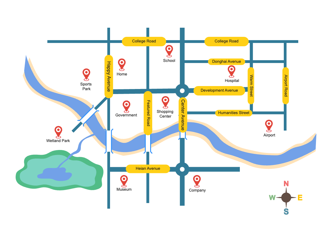
Directional maps are a type of map used to show the direction between two points and usually include features like roads, highways, major waterways, cities, towns, and other destinations. They can be used for navigation purposes as well as for showing directions between different locations. Directional maps are helpful for both tourists and locals who may be unfamiliar with the area or need help finding their way around town. As shown in the diagram, a directional map can be used to show directions and navigate roads like College Road, Helan Avenue, Wetland Park, Airport, and Airport Road. It contains various paths that connect different points of interest along with essential information, such as the distance between those locations for easy navigation. Download this template from EdrawMax and start customizing it as per requirements. With EdrawMax's built-in customization features, you can modify the content of this design as per your norms.