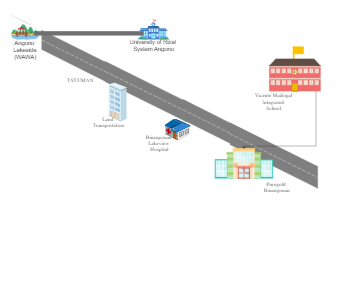
This is a vicinity Map from University of Rizal System Angono to Vicente Integrated School. It displays the landmarks along the way, including Angono Lakeside, Land Transportation, Binangonan Lakeview Hospital, Puregold Binangonan, TAYUMAN. Vicinity maps are commonly used in urban planning, real estate development, and marketing to provide a quick overview of the area surrounding a property or project. They help stakeholders understand the context of the site and its accessibility to important amenities such as schools, hospitals, shopping centers, and public transportation.