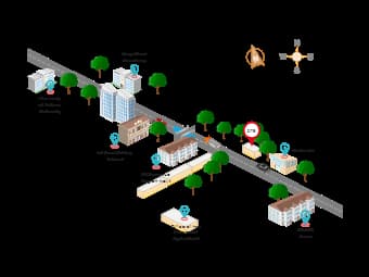
This template serves as an isometric map, which is a two-dimensional representation of a three-dimensional space, allowing viewers to understand the spatial relationships between different locations. The map provides a clear visualization of the relative positions of notable establishments, including educational institutions like Our Lady of Fatima University and Magnificat Academy, a driving school and government offices. It’s a valuable tool for urban planning, navigation, and providing geographic context to a specific site within a city or town.